🔒
ACCESS DENIED
If this keeps happening, log out and back in.
🎉
COURSE COMPLETE!
You've completed all lessons in this course. Put it into action.
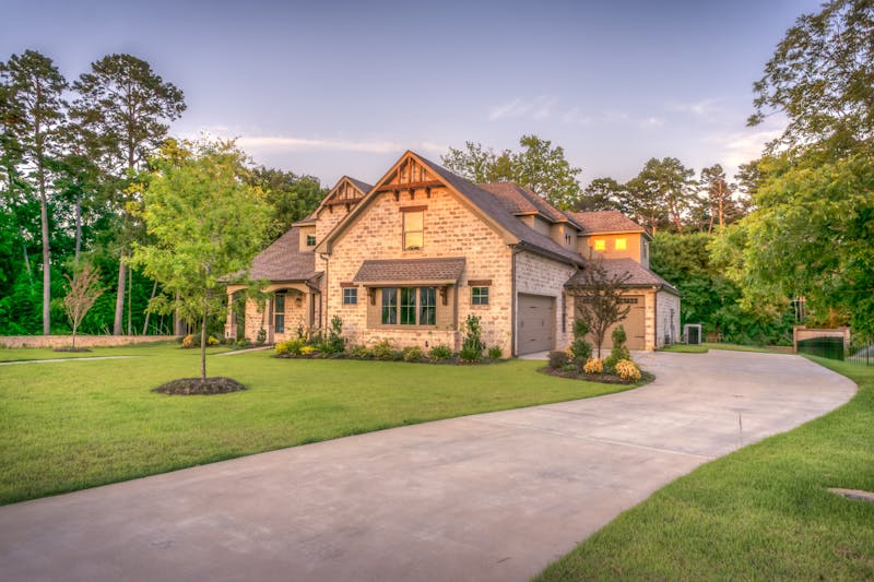
RTK-accurate maps, 3D site models, and scheduled aerial progress documentation for builders, developers, and agents across Central Florida — flown by a local FAA-certified pilot and delivered to your team’s private portal within 48 hours.
Scheduled flyovers, lender-ready records, and investor updates — without another site visit.
See construction services →RTK-accurate maps, contours, point clouds, and KMZ files your engineer can use the same day.
See mapping deliverables →MLS-ready photos and 4K video that make listings and communities stand out — in 48 hours.
See real estate services →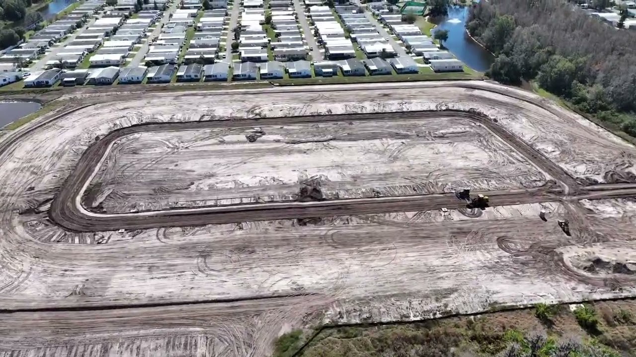
Aerial strategy, site documentation best practices, and industry insights for residential developers across the Tampa–Orlando corridor.


AeroLakeland built 18 professional drone courses from 6+ years of real commercial operations across Central Florida. Every lesson is practical, every skill is billable.
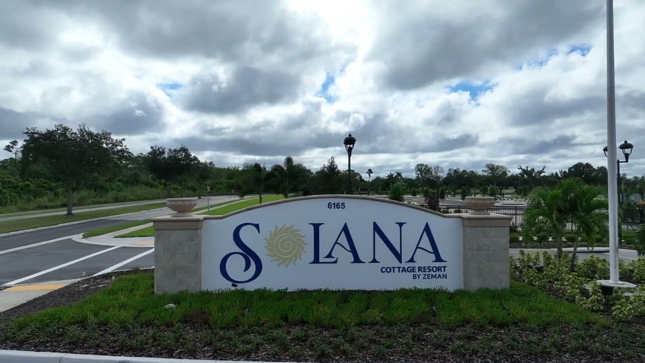
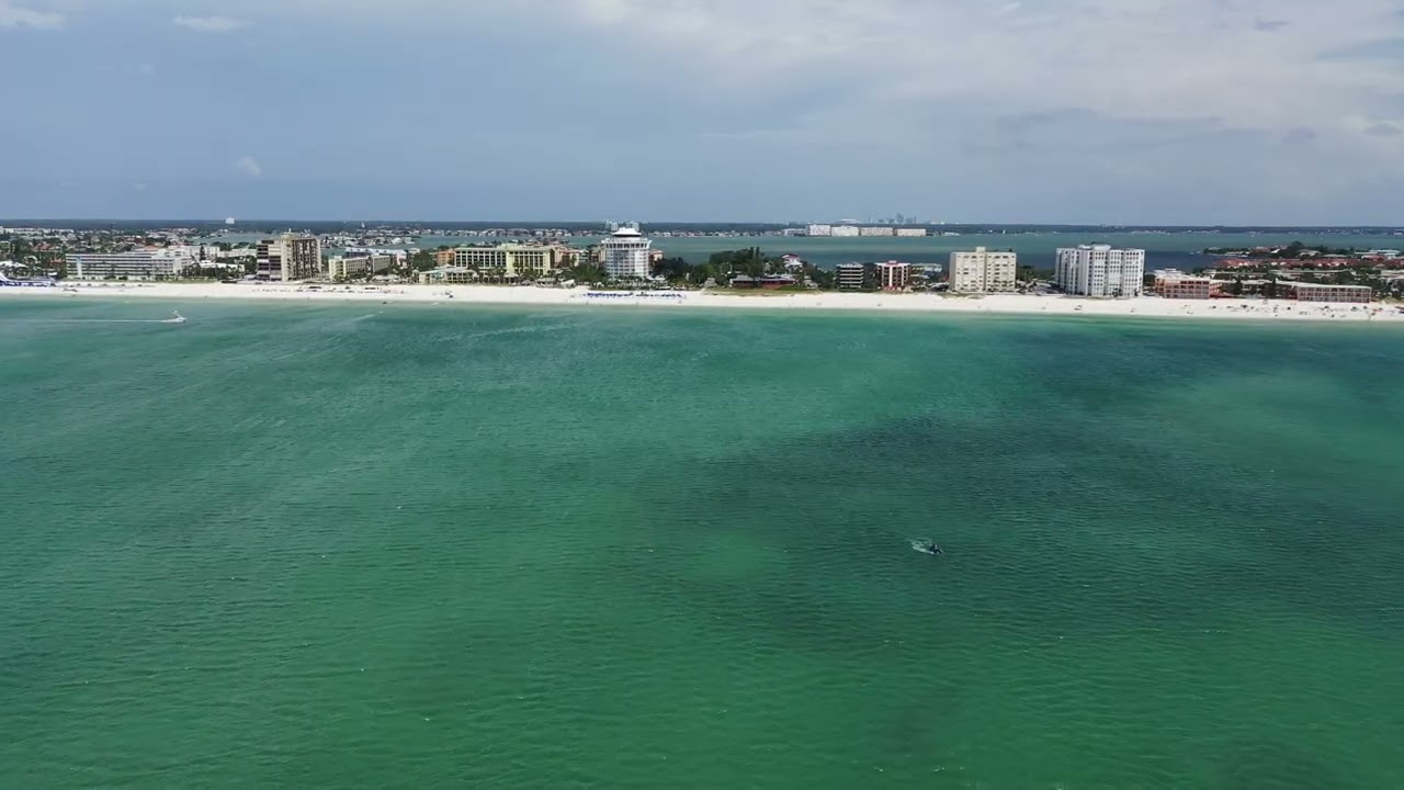
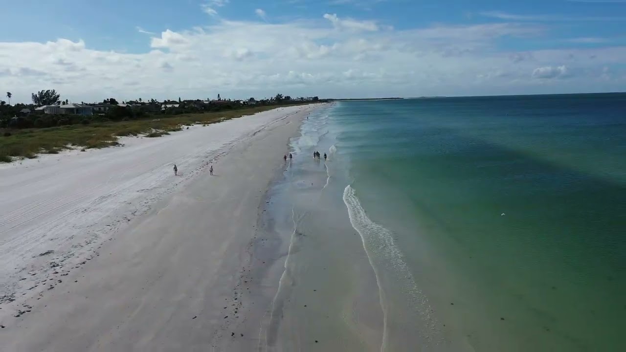
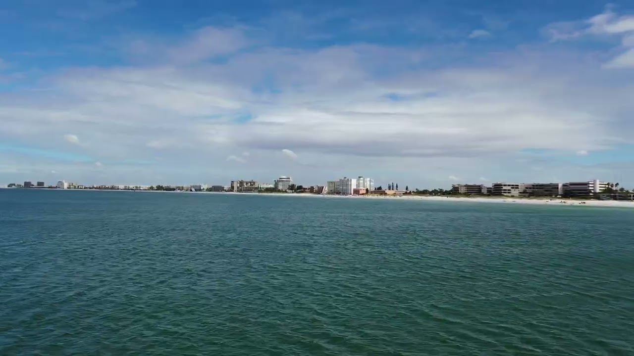
Professional drone photography, 4K video, roof inspections, and construction monitoring across Lakeland, Polk County, and all of Central Florida. Every flight is airspace-compliant and insured.
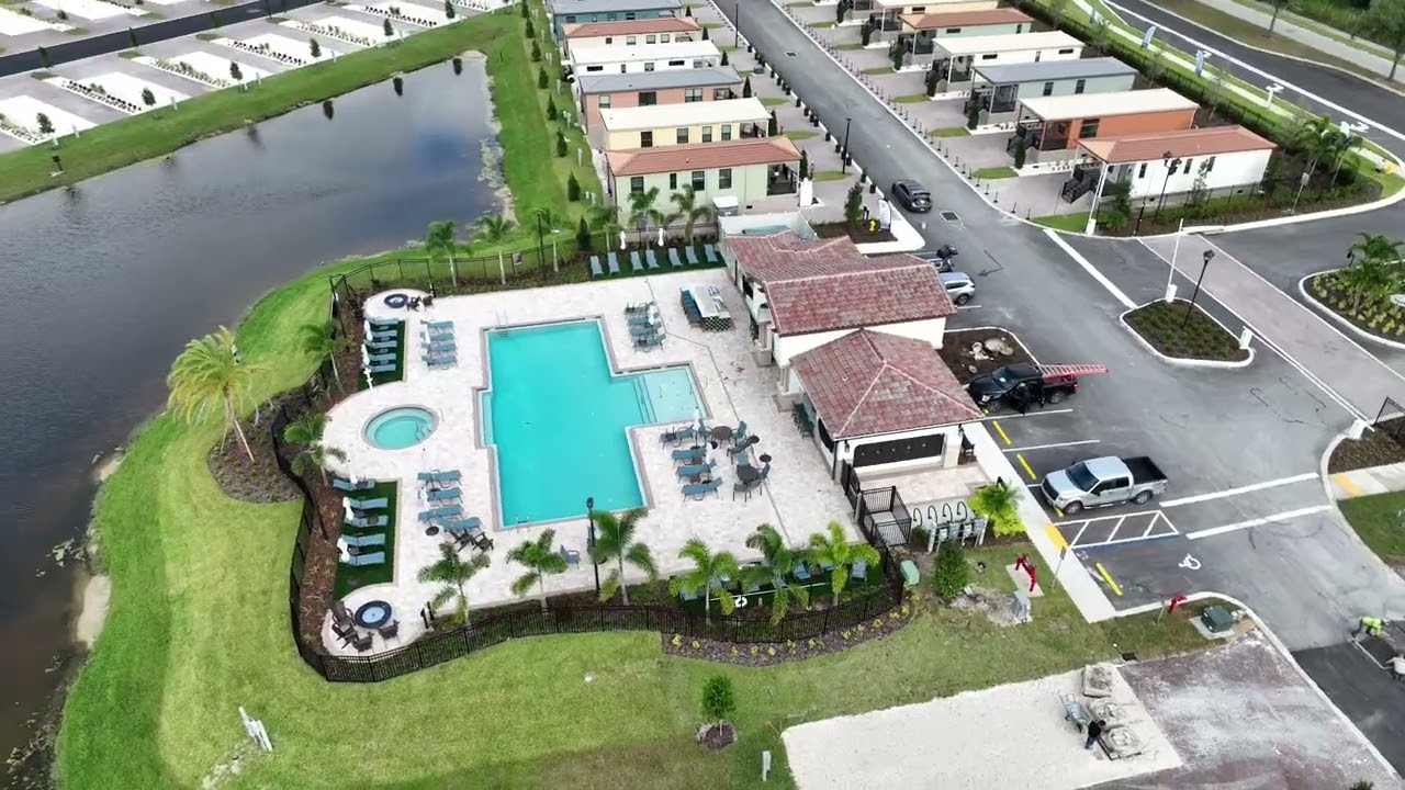
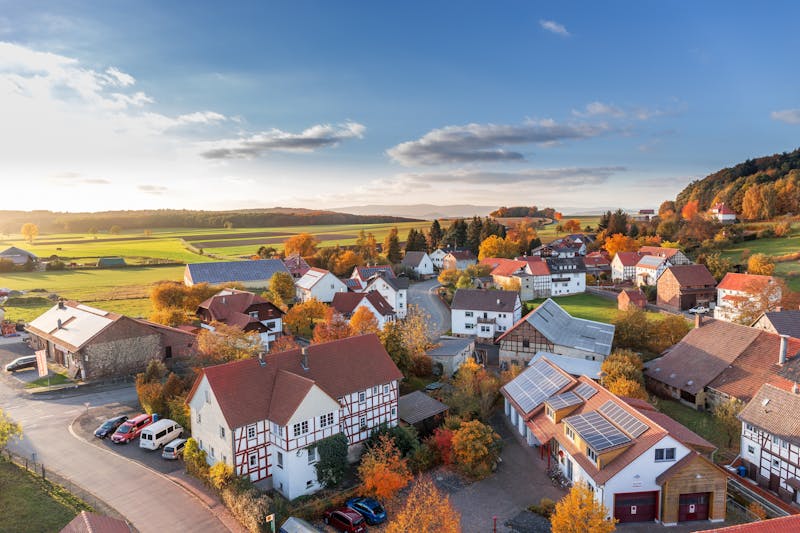
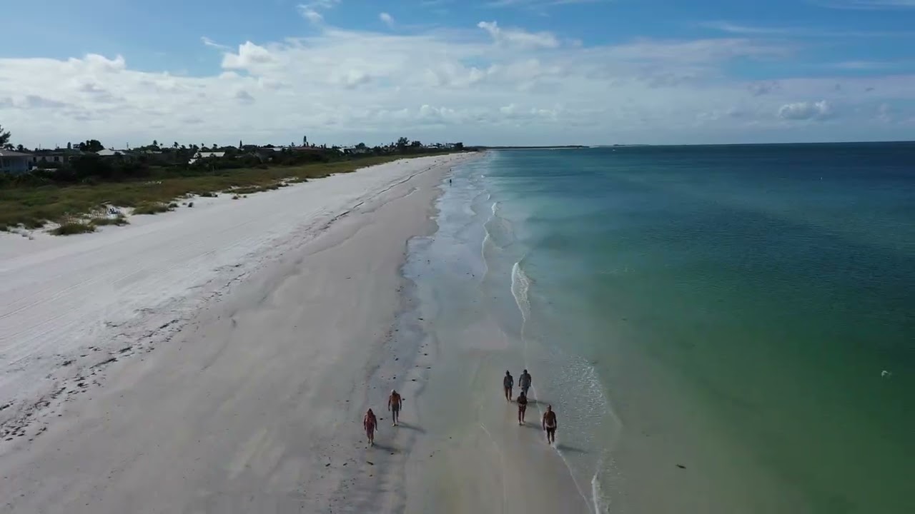
High-resolution aerial photos that showcase the full property, lot size, and neighborhood. Aerial imagery helps listings stand out and sell faster — delivered within 48 hours in MLS-ready formats.
Smooth color-graded 4K aerial video for real estate walk-throughs, corporate marketing, social media, and events. Footage that stops the scroll and drives engagement.
Fast, safe aerial drone inspections of roofs, gutters, solar panels, and hard-to-reach structures. Detailed HD reports for insurance claims — no ladders, no liability.
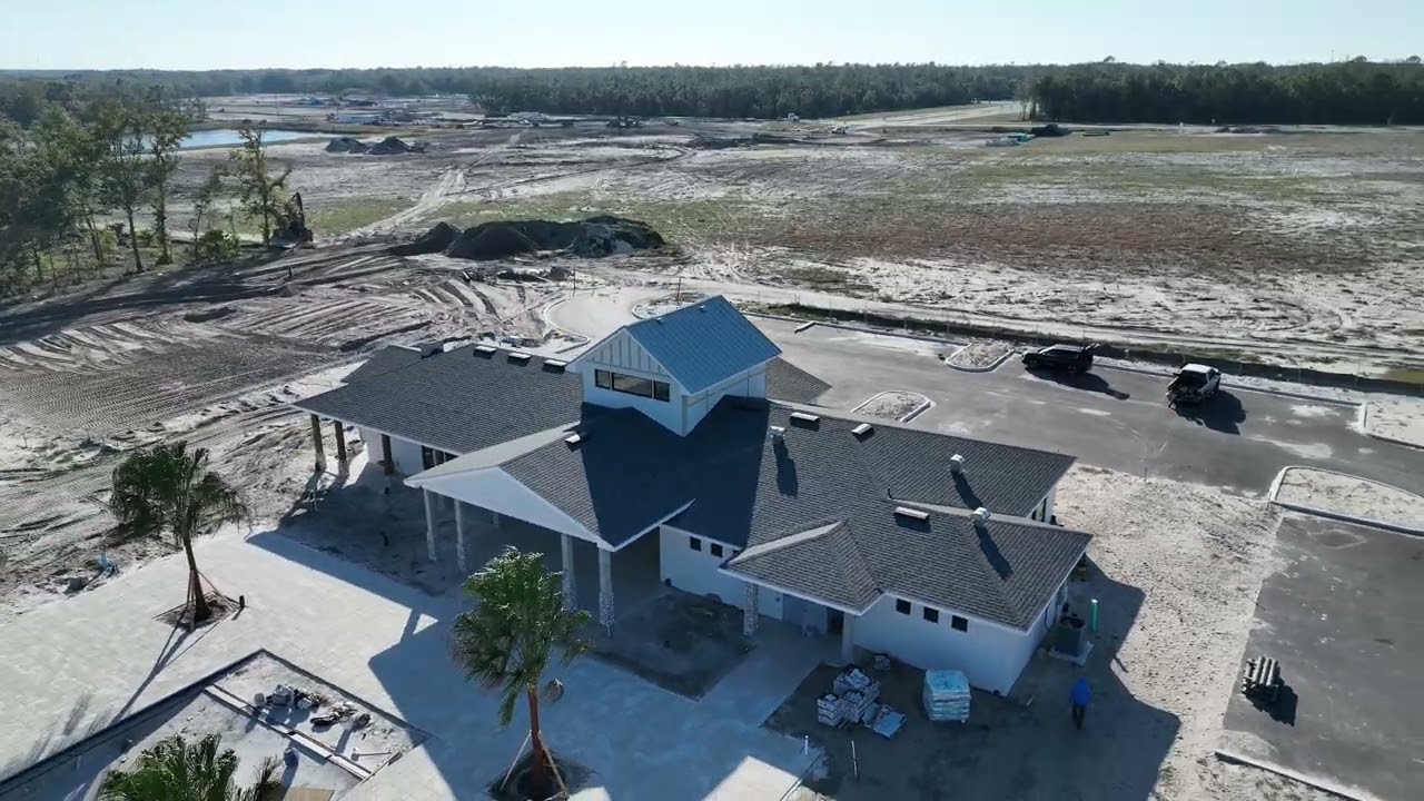
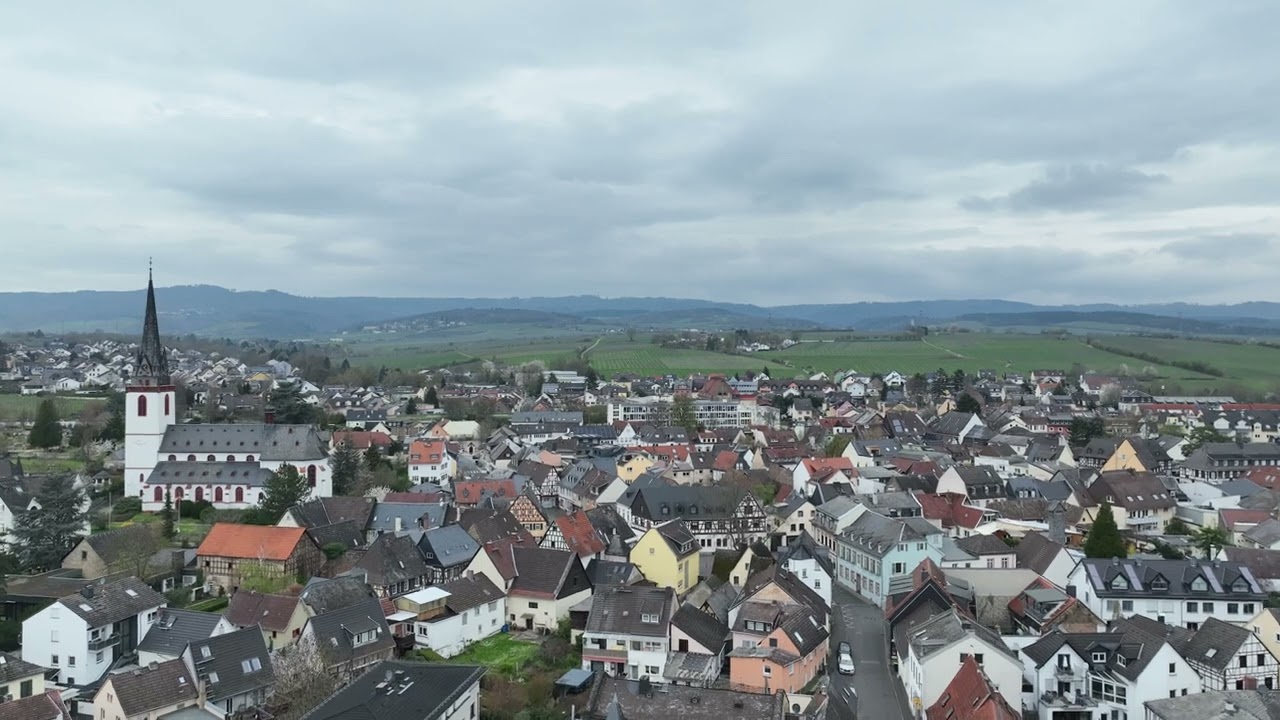
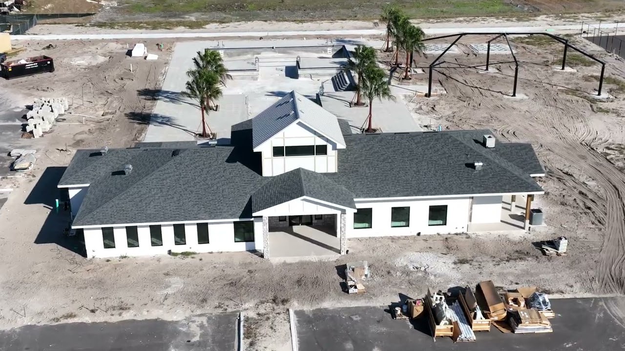
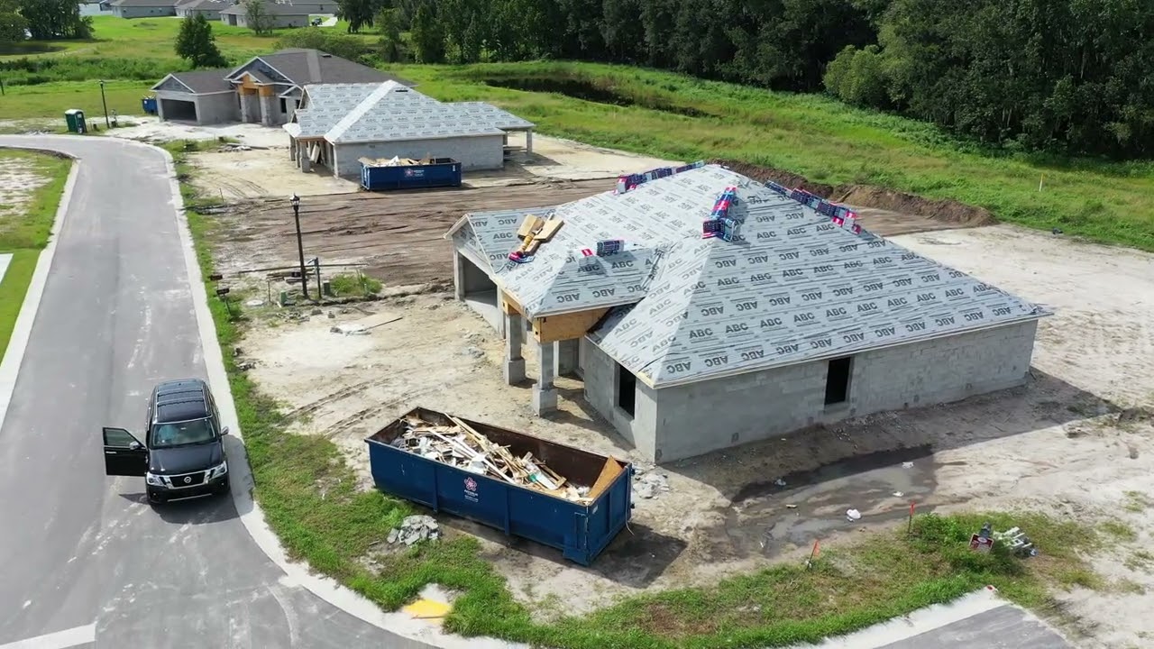
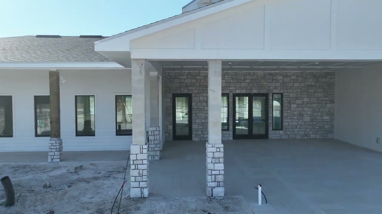
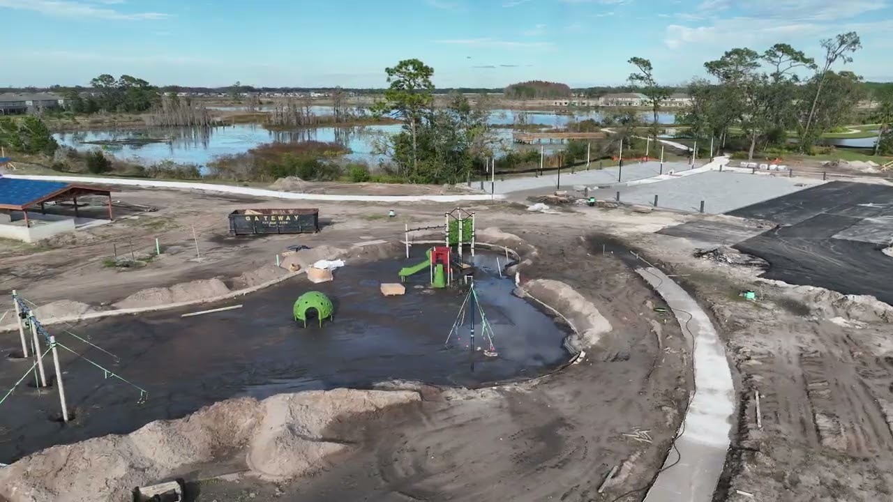
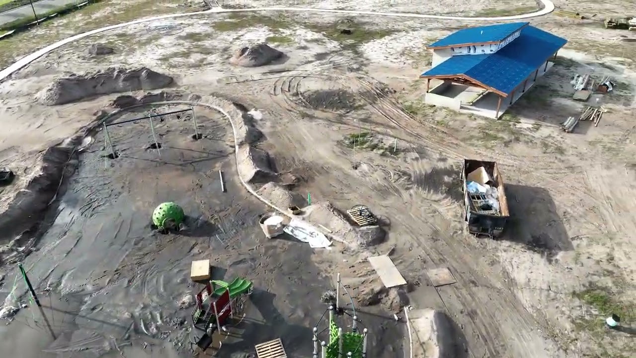
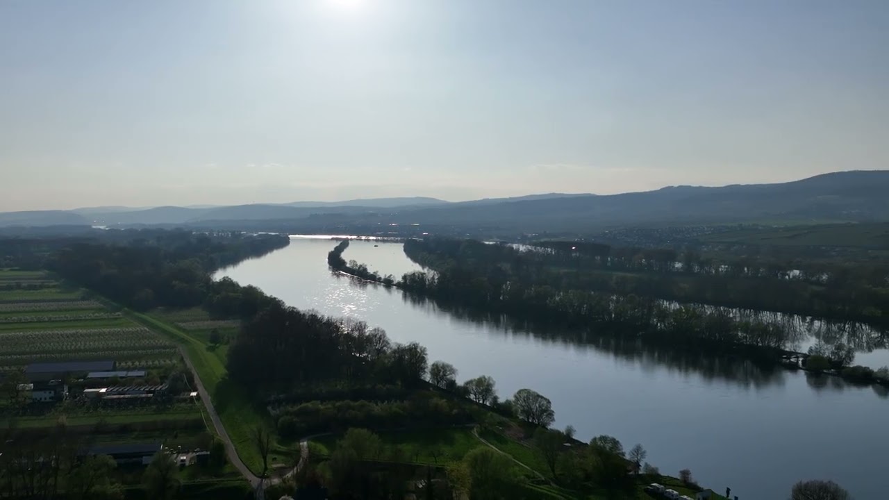
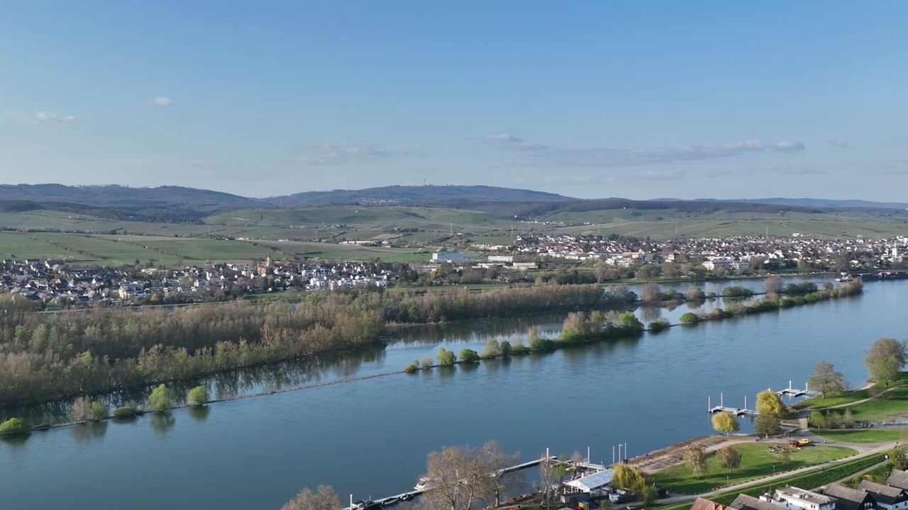
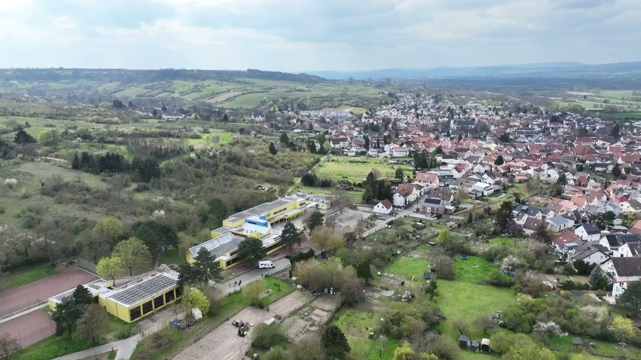
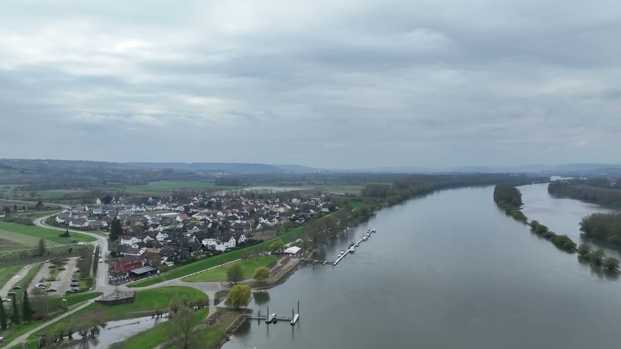
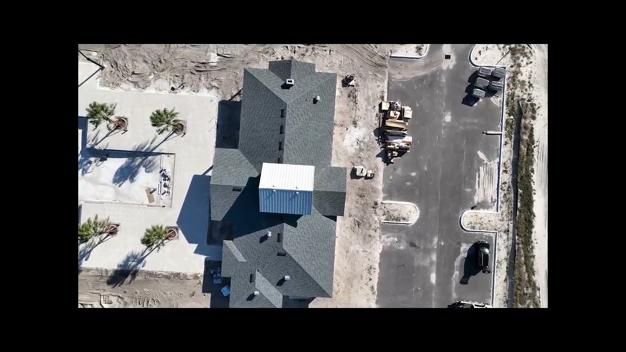
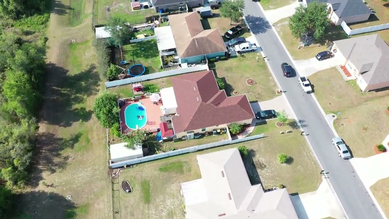
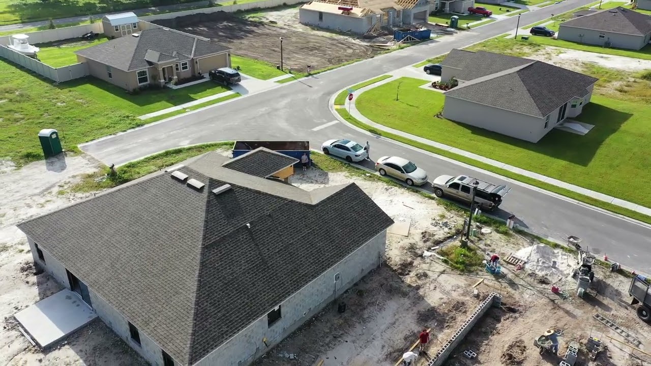
Scheduled aerial overviews of active build sites to track progress, document milestones, and keep owners and investors informed from foundation to finish.
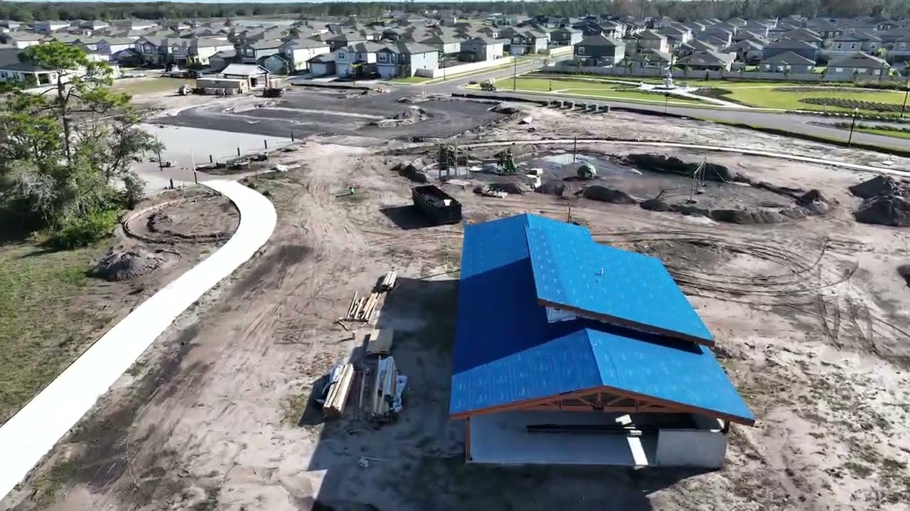
Recurring aerial monitoring every two weeks. Each visit captures 12–24 HD shots from consistent GPS-locked angles — a reliable visual record for stakeholders throughout your project.
| Feature | Real Estate | Cinematic | Inspection | Construction | Biweekly |
|---|---|---|---|---|---|
| Starting Price | Custom Quote | Custom Quote | Custom Quote | Custom Quote | Custom Quote |
| 4K Video | Add-on | ✓ | ✕ | ✓ | ✓ |
| HD Photos | ✓ | ✓ | ✓ | ✓ | ✓ |
| 48-hr Delivery | ✓ | ✓ | ✓ | ✓ | ✓ |
| Same-Day Available | ✓ | ✕ | ✓ | ✕ | ✕ |
| Insurance Docs | ✕ | ✕ | ✓ | ✓ | ✕ |
| Recurring Service | ✕ | ✕ | ✕ | ✓ | ✓ |
| Color Grading | ✓ | ✓ | ✕ | ✕ | ✕ |
| MLS-Ready Format | ✓ | ✓ | ✕ | ✕ | ✕ |
| FAA Certified Pilot | ✓ | ✓ | ✓ | ✓ | ✓ |
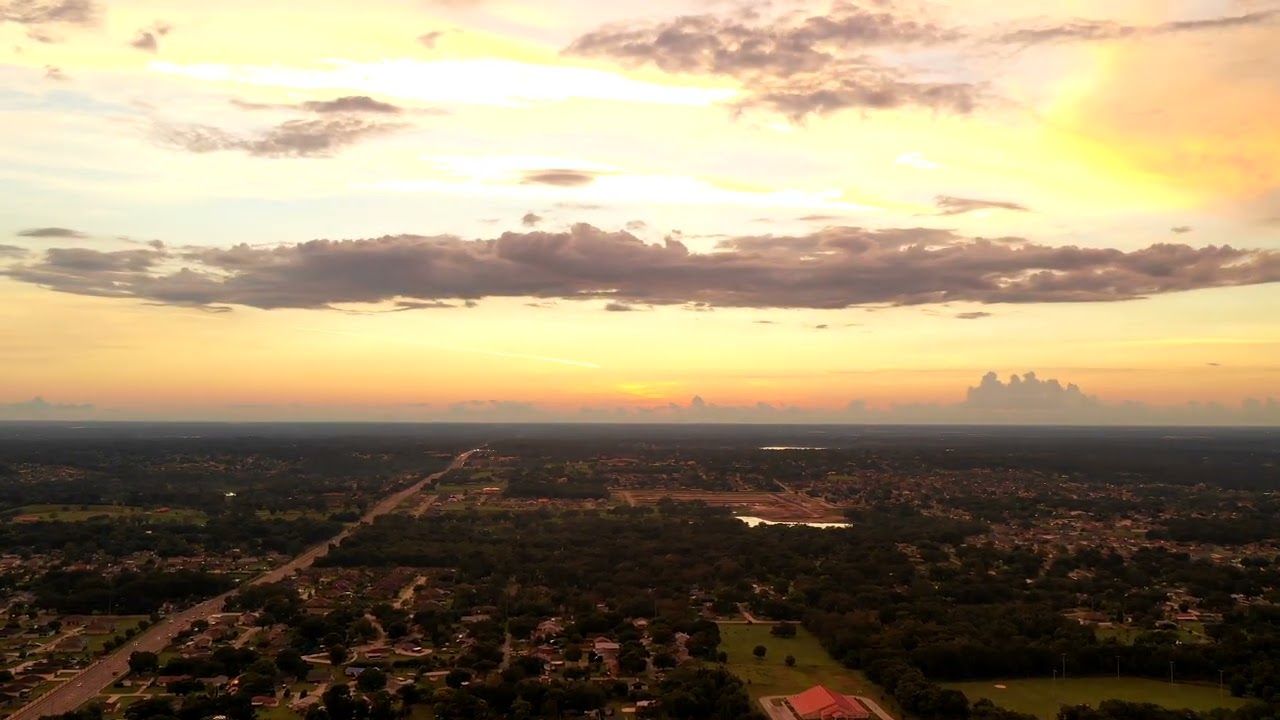
Real AeroLakeland drone footage from across Lakeland, Polk County, and Central Florida. Click any video to watch.


Three situations we hear from every development team we talk to — and what they cost you.
“The lender needs current site photos before releasing Friday’s draw — and the newest aerials anyone can find are from two months ago. So a super drives out with his phone, the photos look like it, and the draw slips a week.”
The cost: a week of carrying costs on borrowed money, because nobody scheduled a flight.
“Marketing pings the PM: ‘Do we have anything recent of Phase 2?’ Forty minutes of scrolling through folders named FINAL_v3, an email chain with three different drone vendors, and the investor letter ships with a stock photo.”
The cost: hours of skilled staff time, every single reporting cycle — and investors can tell.
“A different drone guy every quarter. Different angles, different color, different delivery links. Your two-year progress record looks like it was shot by five different companies — because it was.”
The cost: no apples-to-apples record when a dispute, claim, or milestone question actually matters.
AeroLakeland exists to make all three disappear: same pilot, same angles, every cycle — delivered to one portal your whole team can open.
Two core services built specifically for residential developers in the Tampa–Orlando corridor.
Recurring aerial coverage of your active communities on a fixed schedule — automatically organized and delivered through your private portal. No per-job billing. No scheduling friction.
Professional aerial photography and video optimized for your sales team, marketing materials, investor presentations, and community websites.
We handle everything from scheduling to delivery. Your team just logs in and downloads.
We review your active communities, flight zones, and coverage needs before the first visit.
Monthly or biweekly — we handle the scheduling so your team never has to think about it.
Same-day shooting, professional editing, organized delivery within 48 hours of every flight.
All deliverables in your private portal — organized by site, searchable, and always current.
Every package includes portal delivery. Multi-site discounts for developers with 3+ active communities.
Travel fee: $50 within 50 miles · $75 at 50+ miles from Lakeland · Multi-site discount applied at 3+ communities
We specialize in residential developers with 3–10 active communities across the Tampa–Orlando corridor. Currently accepting 2–3 new developer clients.
We agree on a fixed monthly schedule for each of your active sites. We handle all scheduling and show up automatically — no per-job booking required. Deliverables land in your portal within 48 hours of each flight.
A custom AeroLakeland-built portal where all your deliverables are organized by site and accessible to your whole team. No Dropbox links, no email attachments — just a clean, organized library your marketing team can pull from anytime.
Yes — most of our developer clients have multiple active communities across Pasco and Hillsborough counties. We route-optimize multi-site days to keep travel costs efficient and pass the savings on through multi-site bulk pricing.
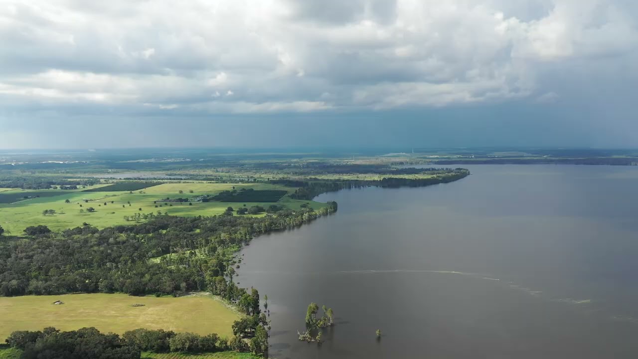
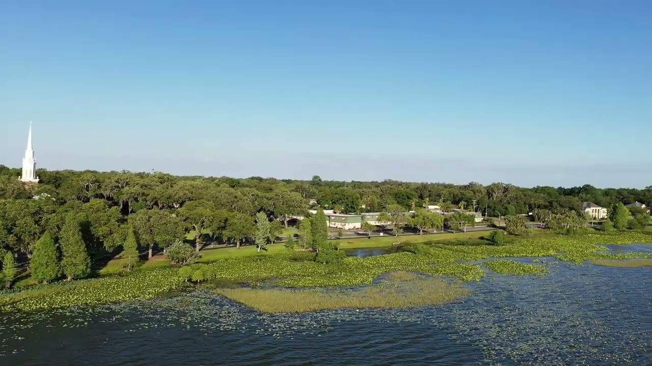
We serve the full Tampa–Orlando corridor: Hillsborough, Pasco, Polk, Hernando, and Orange counties. Based in Lakeland, we’re ideally positioned for communities along the I-4 corridor and throughout the region.
RTK (Real-Time Kinematic) gives our drone survey-grade positioning accuracy — centimeter-level precision instead of the several-meter GPS accuracy of standard drones. For orthomosaic mapping, site surveys, and precision documentation it’s essential. For standard site progress photography it’s a bonus that sets our work apart.
Monthly coverage programs starting at $500/site. We’re currently accepting 2–3 new developer clients in the Tampa–Orlando corridor. Reach out to check availability.
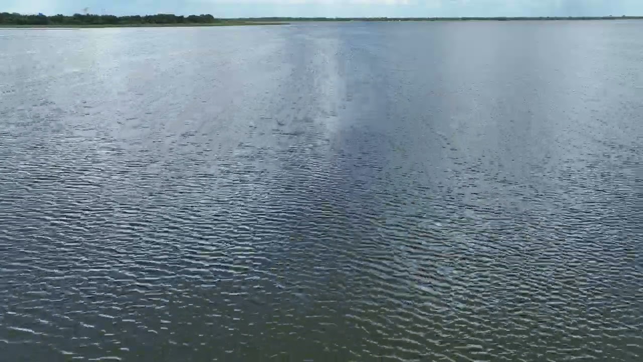
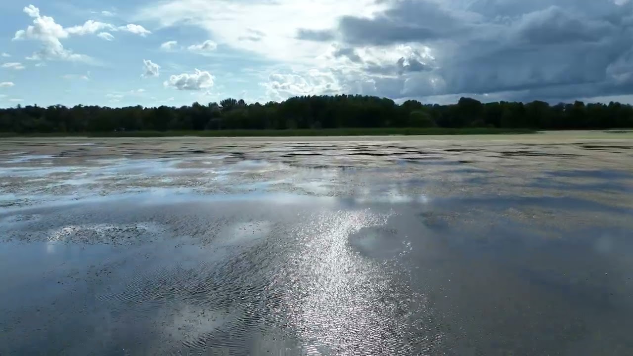
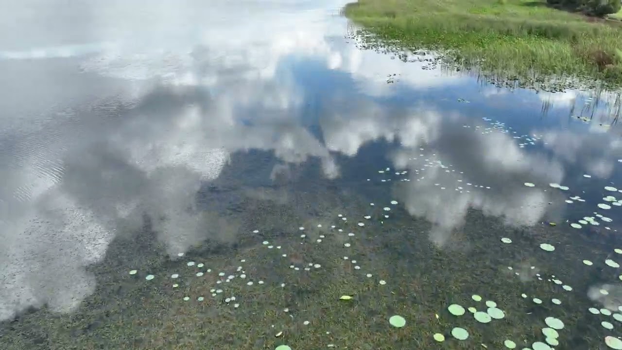
Traditional site visits give you a single ground-level perspective. Drone overviews give you the whole picture — on demand, on schedule, shareable with anyone.
AeroLakeland partners with the professionals who build Polk County. Whether you're breaking ground on a single-family community or managing a multi-phase commercial build, we integrate into your workflow.
Real footage from AeroLakeland construction monitoring shoots across Polk County.
Simple, professional, and built around your project schedule.
Contact us with your project address, site size, and desired frequency. We'll confirm airspace and schedule your first flyover.
Our FAA-certified pilot arrives, performs a safe and efficient flyover capturing 4K video and high-resolution stills from multiple angles.
Edited footage and full-resolution photos delivered digitally — ready to share with investors, post to social, or archive for your records.
Recurring clients get priority scheduling and a consistent pilot who learns your site. We grow with your project from groundbreaking to ribbon cutting.
“Used AeroLakeland for monthly construction site monitoring on our 40-acre Polk County development. Professional, on time, exactly what our investors needed.”
No — we handle all airspace authorization and safety coordination independently. A simple heads-up to your site super is all we ask so the crew knows we're coming.
Standard delivery is 48–72 hours after the flyover. Rush delivery is available for time-sensitive investor reports or milestone presentations.
Yes, with coordination. We plan flight paths to avoid active work zones and always prioritize site safety. We're experienced in active construction environments across Polk County.
We cover all of Polk County and surrounding Central Florida — Lakeland, Winter Haven, Bartow, Haines City, Davenport, and beyond. Contact us if you're outside the area and we'll work something out.
Absolutely — recurring clients are our favorite clients. Monthly and bi-weekly monitoring packages are available with priority scheduling for the life of your project.
The case for professional drone monitoring on your Polk County job site.


Contact us today for a custom quote. We'll confirm airspace, review your schedule, and get your first flyover on the calendar.
Your feedback means everything to us. This quick survey helps us keep delivering the best drone photography and videography in Central Florida. Takes less than 2 minutes.
Your response has been sent to the AeroLakeland team. We genuinely appreciate you taking the time — your feedback helps us keep delivering the best aerial drone services in Central Florida.
Tell us about your project and we'll put together the right aerial package for you. Takes less than 2 minutes — no obligation.
Thanks! Dustin will review your project details and get back to you within 2-4 business hours. In the meantime, feel free to lock in a time below.
AeroLakeland LLC is a Central Florida–based aerial media and drone services company specializing in high-quality visual data for construction, real estate, and commercial projects. We provide precise, consistent, and actionable aerial imagery that helps teams monitor progress, improve documentation, and make better decisions on-site.
Our focus is simple: deliver reliable aerial coverage that adds real operational value — not just visuals. Whether it’s tracking construction progress, capturing marketing assets, or supporting project reporting, AeroLakeland operates as an extension of your team.
AeroLakeland is a Preferred Business Partner of Lakeland REALTORS® and an Associate Member of the Polk County Builders Association (PCBA) — the only FAA Part 107 certified drone company in the area with official standing in both organizations.
AeroLakeland is owned and operated by Dustin Vicent, an FAA Part 107 Certified Remote Pilot with a strong background in infrastructure, technology, and field operations. Dustin has completed over 200 commercial drone flights across Polk County and Central Florida. This technical foundation ensures every flight is conducted with a focus on safety, efficiency, and accuracy.
Unlike hobby-based drone services, AeroLakeland approaches each project with a systems mindset — understanding timelines, site logistics, and the importance of consistent data capture across multiple visits.
To provide dependable aerial insight that improves how projects are documented, managed, and presented — while saving time and increasing visibility for our clients.
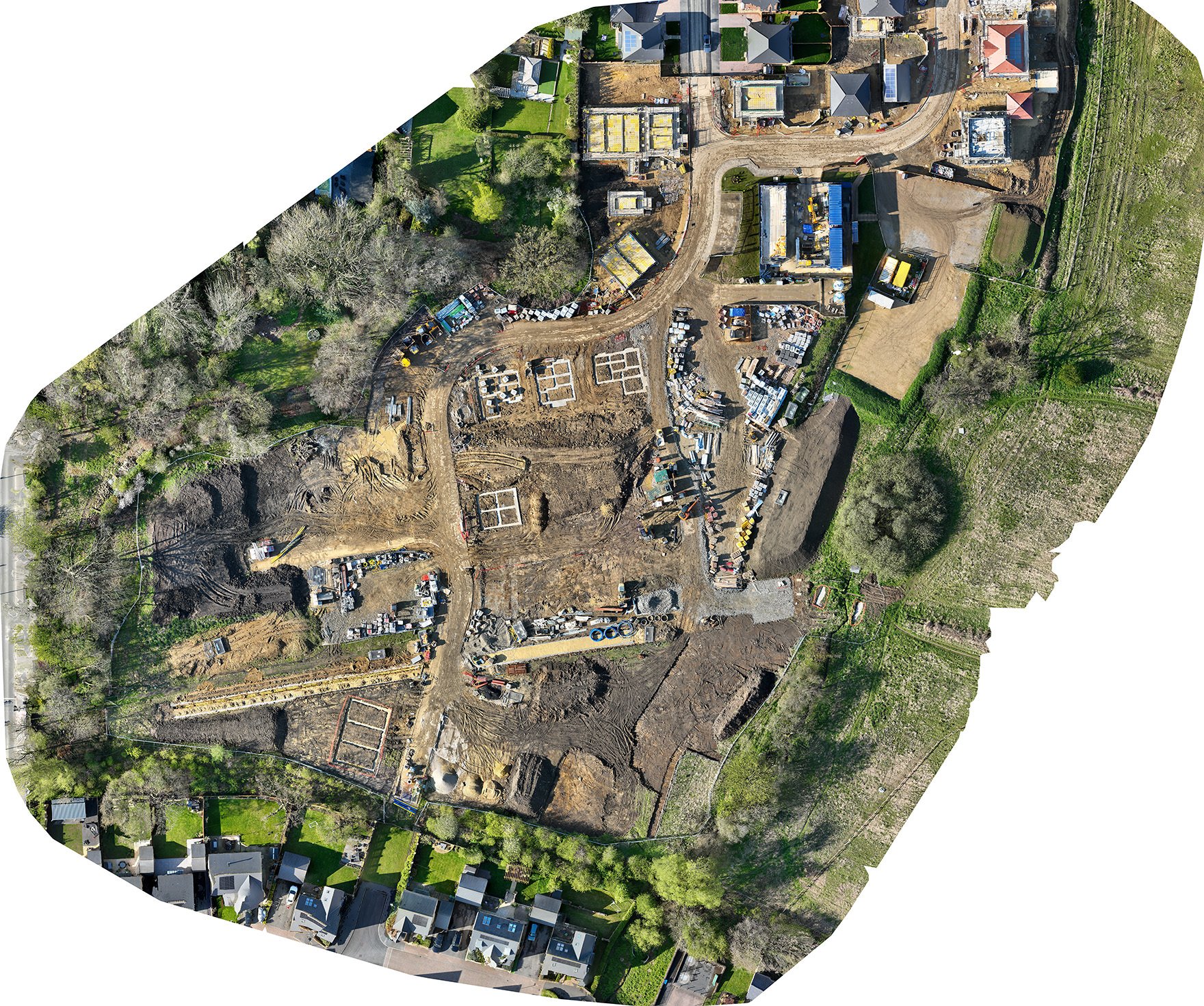
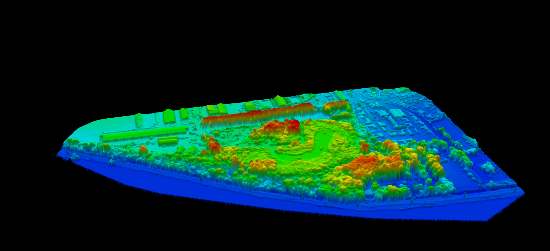
One flight produces five distinct data products — georeferenced maps, elevation models, contour lines, 3D terrain, and volumetric reports. Serving Polk County and the Tampa–Orlando corridor. Delivered in 24–72 hours.

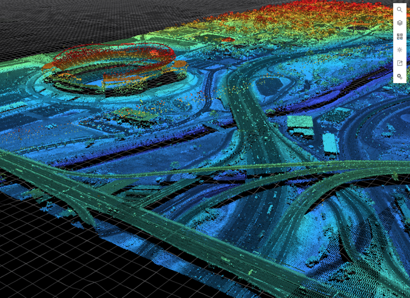
This is a working Central Florida materials recycling and transfer facility — flown, processed, and delivered by AeroLakeland. Drag to rotate, scroll to zoom. The labelled pins are annotations dropped straight onto the model. Every mapping client can share a model like this with their whole team from a single link.
| Factor | Drone Mapping | Traditional Survey |
|---|---|---|
| Mobilization | Same day | Days to weeks |
| Coverage/day | 100–500+ acres | 5–20 acres |
| RTK accuracy | 1–3cm | 1–2cm |
| Repeat surveys | Same cost each time | Full remobilization |
| Visual output | Ortho + 3D + video | Data only |
| Cost (10–50ac) | $500–$1,200 | $2,500–$8,000+ |
Tell us about your drone photography or videography project. We cover all of Lakeland, Polk County, and Central Florida and respond within 2–4 business hours.
Tools, templates, and education built by a working FAA-certified drone pilot in Central Florida. Download the rate card, subscribe to the newsletter, or add multiple courses to your cart and check out in one step.
Built by a working drone pilot for working drone pilots. Buy once, access forever. Add multiple courses to your cart and check out in one step.
Sign in to access your courses. New here? Create a free account and enroll below.
Secure project tracking, deliverable access, and pilot communication. Log in with your account or use your project access code.
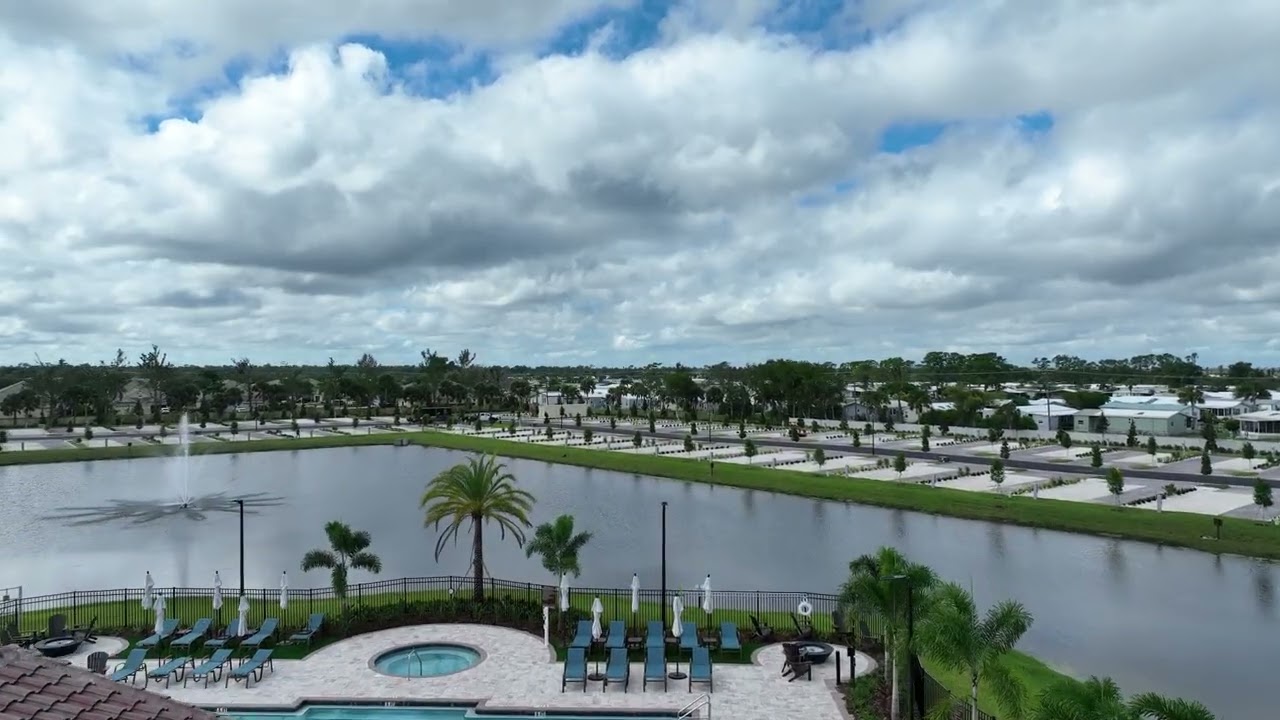
Pasco County is one of the fastest-growing construction corridors in Florida. Wesley Chapel, Land O' Lakes, and the Dade City area are seeing explosive residential development — and AeroLakeland is already on the ground there, actively flying sites every week.
Based in Lakeland and actively serving Pasco County job sites. No out-of-town dispatch fees, no scheduling delays. We know the airspace, the weather patterns, and the construction corridors in this county.
AeroLakeland currently provides biweekly aerial monitoring for multiple active residential developments in Pasco County. We understand the documentation needs of developers, GCs, and lenders on large-format builds.
Every deliverable — aerial photos, video, orthomosaics, KMZ files — is processed and delivered within 48 hours of the flight. Stakeholder-ready, investor-ready, and lender-ready format included.
Scheduled biweekly or monthly aerial overviews for residential and commercial builds in Dade City, Zephyrhills, Land O' Lakes, and Wesley Chapel. Progress reports for lenders, investors, and project managers.
MLS-ready aerial stills and 4K video for listings in New Port Richey, Zephyrhills, Dade City, and throughout Pasco County. 48-hour turnaround. Listings with aerial photos sell faster.
GeoTIFF orthomosaics, DSM, and KMZ deliverables for engineers, surveyors, and developers in Pasco County. RTK-accurate data with 1cm ground resolution on large parcels.
Safe, ladder-free HD aerial roof inspections for homeowners and insurance professionals across Pasco County. Insurance-ready photo reports delivered within 24 hours.
Don't see your city? We fly throughout all of Pasco County. Contact us to confirm coverage.
AeroLakeland operates across the I-4 and I-75 corridors connecting Lakeland to Tampa. Hillsborough County's construction boom — from Spring Hill to Brandon and Plant City — is an area we fly regularly. No distance surcharge for most Hillsborough County locations within our standard 50-mile radius.
From Lakeland to Tampa is less than an hour. We provide the same professional, on-time service at Hillsborough County job sites and listings as we do in Polk County — with the same 48-hour delivery guarantee.
AeroLakeland actively monitors residential construction sites in Hillsborough County. We understand the documentation requirements of lenders, project managers, and investors working on large-scale residential developments in this market.
Most Hillsborough County locations fall within our standard 50-mile service radius from Lakeland — meaning no additional travel fee. Spring Hill, Brandon, Plant City, and Riverview are all standard rate.
Scheduled biweekly or monthly aerial overviews for active builds in Spring Hill, Brandon, Riverview, Valrico, and throughout Hillsborough County. Stakeholder reports, lender documentation, investor updates.
MLS-ready aerial stills and 4K video for Tampa-area listings including Plant City, Brandon, Riverview, and south Hillsborough. Buyers in the Tampa metro expect aerial. Stand out.
Orthomosaic mapping, DSM, and 3D model deliverables for engineers and developers working in Hillsborough County. Full GeoTIFF and KMZ output with RTK accuracy.
Insurance-ready aerial roof inspections for Hillsborough County homeowners, property managers, and insurance adjusters. HD report delivered within 24 hours, no ladders required.
Not sure if we cover your area? Contact us and we'll confirm.